


Toronto Islands: The Complete Guide to Ferries, Beaches & That Skyline View
A fifteen-minute ferry ride is all that separates downtown Toronto from a car-free archipelago of beaches, gardens, and the single best photo of the city skyline. Here’s how to do it right.
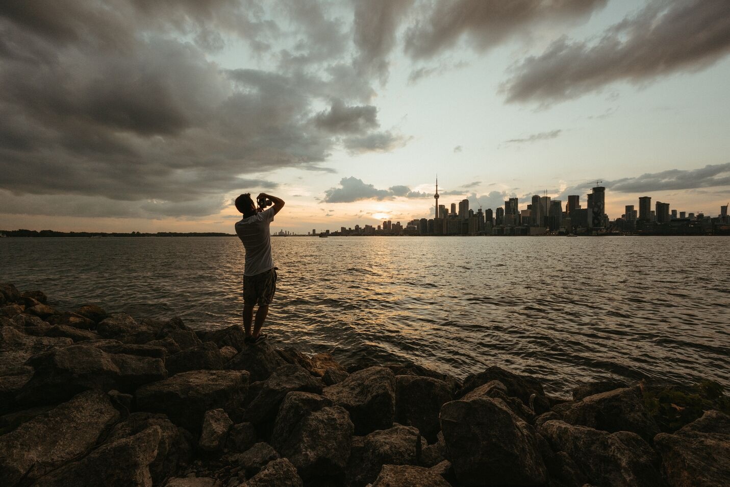
The line for the ferry starts moving, someone’s kid is holding a melting popsicle, a cyclist is trying to wedge a bike between two strollers, and across the water the CN Tower is getting smaller by the second. Ninety seconds later, the noise of Queens Quay is gone, replaced by gulls and the slap of the harbour against the hull. That’s the whole trick of the Toronto Islands: you don’t need a car, a flight, or a weekend. You need fifteen minutes.
Technically it’s not one island but fifteen, stitched together by footbridges and gravel paths, sitting in Lake Ontario just off the foot of the city. No cars are allowed anywhere on them, which is most of the reason they feel like a different country rather than a city park. This guide covers the ferry, which island actually suits your day, where to swim, where to eat, and the mistakes first-timers make almost every single summer weekend.
Getting There: The Ferry, Prices & Timing
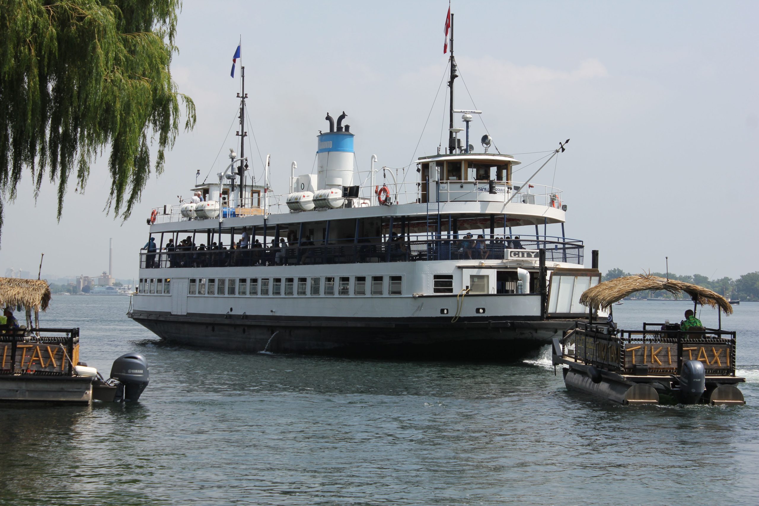
There is exactly one public way onto the islands: the ferry from the Jack Layton Ferry Terminal at 9 Queens Quay West, tucked behind the Westin Harbour Castle. Three routes run from there, to Centre Island, Hanlan’s Point, and Ward’s Island, and the crossing takes roughly 13 to 15 minutes depending on the dock.
As of 2026, a return ticket runs about CAD 9.57 for adults, CAD 6.15 for students and seniors, and CAD 4.51 for kids aged 2 to 14, with children under 2 riding free. That price covers the round trip, so you don’t pay again on the way back, and you don’t even need to show a ticket for the return leg. Buy online in advance if you can. Online ticket holders get a separate, much shorter line at the terminal, which matters enormously on a hot Saturday when the box-office queue can stretch past an hour.
Peak congestion happens between 10 a.m. and 3 p.m. heading out, and 5 to 9 p.m. coming back, especially on the Centre Island route. If your schedule is flexible, an early morning or a 4 p.m. departure will save you the wait entirely. For the full seasonal timetable, including the shoulder-season and winter Ward’s Island-only schedule, the complete ferry schedule and crowd-avoidance guide on TorontoBook breaks down exactly which departure times to avoid.
Some links on this page are affiliate links — booking through them costs you nothing extra and helps support this site.
The Jack Layton Ferry Terminal is the only departure point for all three island routes.
Which Island to Pick
All three islands connect by footpath, so in theory you can walk the whole 5-kilometre stretch from Ward’s Island to Hanlan’s Point in an afternoon. In practice, most visitors pick a base and wander from there.
Centre Island
This is the one everyone means when they say “the islands.” It’s home to Centreville Amusement Park, a small, old-fashioned fairground with a carousel and a Ferris wheel that’s genuinely charming for younger kids, plus paddle boats on the lagoon and the widest network of rental-bike paths. It’s also the busiest dock by far, which is the trade-off for having the most going on.
Ward’s Island
Quieter, more residential, and a favourite with locals who want a picnic without the crowds. There are about 150 homes here, a genuine community with cottage-like charm, and a walk to Centre Island of roughly 35 minutes if you don’t mind stretching your legs. If your priority is simply lying on a blanket with a book, start here.
Hanlan’s Point
The westernmost island, known for the best sunset views of any dock and for being home to Toronto’s only clothing-optional beach, which sits at the point’s northern end and is clearly signed. Hanlan’s also has a quieter, more nature-forward feel, with less foot traffic than Centre Island.
Skip Centre Island’s dock entirely on a July Saturday and take Ward’s Island instead — you’ll trade a thirty-minute walk for a forty-minute wait, and the walk is the better use of your afternoon. — A regular island-goer’s rule of thumb
I’ve made the mistake of arriving at the Centre Island dock at 11 a.m. on a long weekend without a pre-purchased ticket, and I learned the hard way that the box-office line moves slower than it looks from the back. The fix is almost embarrassingly simple: buy the ticket online the night before, and if you can, take the Ward’s Island ferry instead, even if Centre Island is your real destination. The dock is calmer, the walk over is genuinely pleasant, and you arrive at Centreville from the quiet side while everyone else is still queuing behind you.
What to Do Once You’re There
- Rent a bike at Centre Island — the paved loop connecting all three islands is flat, shaded, and takes about 90 minutes end to end at an easy pace.
- Swim at Hanlan’s Point Beach or Centre Island Beach — both are supervised in summer, with the Blue Flag-rated Centre Island Beach being the more family-friendly of the two.
- Ride the carousel at Centreville — a genuinely well-preserved 1907 antique carousel, one of the oldest still operating in North America.
- Walk to Snake Island lookout — the least-visited corner of the archipelago and the quietest spot for the classic skyline shot without another tourist in frame.
- Picnic on the Ward’s Island lawns — bring your own food; the grocery options on the islands themselves are limited and pricier than downtown.

Centreville’s antique carousel has been running on Centre Island for well over a century.
Quick Facts
- Return ferry~$9.57 adult / $6.15 student
- Crossing time13–15 minutes
- Getting aroundOn foot, rental bike, no cars
- SeasonFerries run year-round; full service May–Sept
Tips & FAQ
The islands are low-key enough that most travel advisories don’t say much about them beyond the basics, and that’s fairly accurate for a well-patrolled city park. The one real practical warning worth repeating: bring cash or a payment card that works offline, since connectivity on parts of Ward’s and Hanlan’s can be patchy, and the food stands there don’t always have a backup card reader.
For official schedule updates, accessibility details, and any weather-related service changes, the City of Toronto’s ferry routes and schedules page is the most reliable source, and it’s worth a quick check the morning of your visit, especially outside peak summer months when service is reduced.
One last thing worth saving for later: pin this guide or save it to your own board before you go, since cell signal on parts of the islands is unreliable and you’ll want the ferry times and beach picks handy without hunting for a connection.