
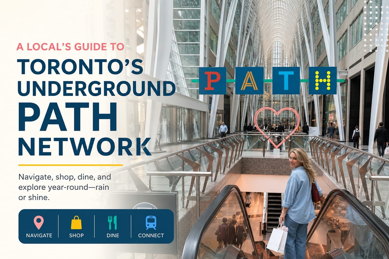
A Local’s Guide to Toronto’s Underground PATH Network
Thirty kilometres of tunnels, over a thousand shops, and almost no signs that make sense on your first try. Here is how the PATH actually works, and how to stop walking in circles beneath Bay Street.

The first time most visitors hear about Toronto’s PATH, it sounds like an exaggeration. A shopping network under the entire downtown core, connecting more than seventy buildings, five subway stations, and Union Station itself, all without ever needing a coat. Then it’s minus eighteen outside with a wind coming straight off the lake, and suddenly the PATH stops sounding like a novelty and starts sounding like the only sensible way to get anywhere.
What nobody tells you upfront is that the PATH was never designed as one single system. It grew building by building, decade by decade, starting with a modest tunnel between a department store and its annex in 1900. That history is exactly why it feels like a maze: each segment was built by a different property owner with their own idea of where the hallway should go. Once you understand that, the confusion makes a lot more sense, and so does the fix.
How the PATH Actually Works
The system finally got a shared wayfinding standard in the late 2010s, and it comes down to colour and direction rather than building names, which is the part most first-timers miss. Look for the circular yellow PATH logo with a black P at almost every entrance and junction. Signs are colour-coded by compass direction: red generally points south, blue north, yellow east, and orange west. You don’t need to memorise a map of seventy interconnected buildings. You need to know which direction you’re trying to go, and follow that colour.
The spine of the network runs roughly under Bay Street and Yonge Street, north to south, with a King Street corridor crossing it east to west. Union Station anchors the south end, and most people naturally start there since it’s where GO trains, VIA Rail, the UP Express, and the subway all converge. If you get turned around, the fastest reset is heading back toward Union Station and starting over, rather than trying to backtrack through six buildings you don’t remember entering.
Some links on this page are affiliate links. Booking through them costs you nothing extra and helps support this site.
Getting oriented on day one
If you’re only in Toronto for a short stay, don’t try to learn the whole PATH. Learn one route: from your hotel or Union Station to the Eaton Centre, or from Union Station to Scotiabank Arena. Once you’ve walked one route end to end, the logic of the colour-coded signage clicks, and every other route becomes easier to guess.
Where to Enter (and Where to Avoid)
Not every entrance is equally useful, and choosing the right one saves a surprising amount of walking. Union Station’s Great Hall is the busiest and most obvious entry point, with direct access to the subway, GO Transit, and a food concourse worth a stop on its own. Brookfield Place, a few blocks north, is quieter and considerably more photogenic, with a soaring glass atrium that’s worth a slow walk-through even if you’re not shopping.
For anyone staying near Bloor-Yonge, it’s worth knowing there’s a second, smaller underground pedestrian corridor connecting that area toward Bay Station, separate from the main PATH system and far less signposted. It’s genuinely useful on a cold day, but don’t expect the same wayfinding standard, since it was never folded into the official network the same way.

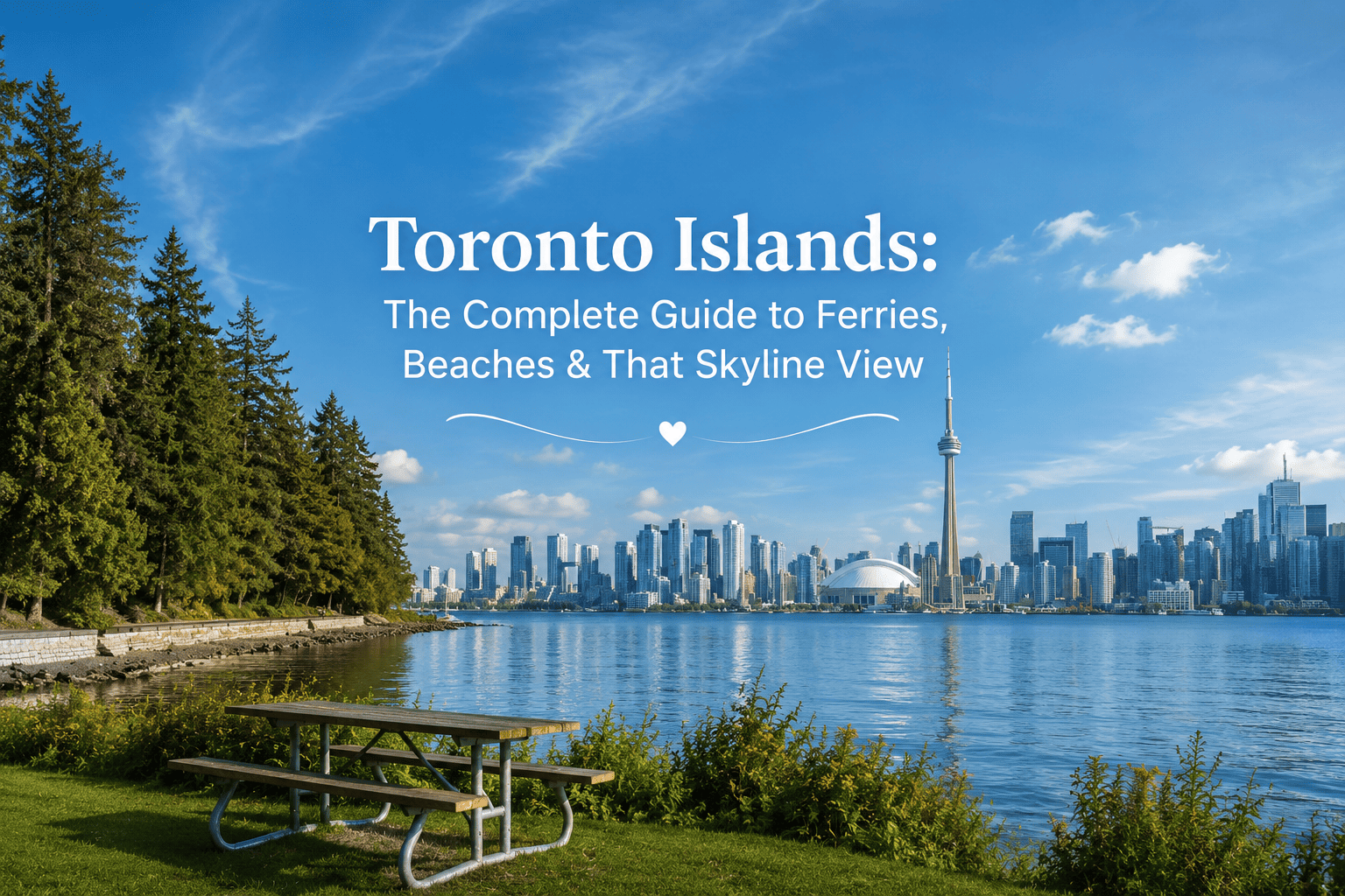
Every tower in this skyline is a potential PATH entrance. Above ground, the financial district looks like any other; below it, over a thousand shops keep the city moving in the cold.
I once followed the wrong colour for four minutes before I noticed, and ended up in a hotel lobby instead of the food court I wanted. Nobody tells you that recovering from a wrong turn just means walking back to the nearest yellow “P” logo and starting again. — Local navigation note
Here’s a paragraph worth being honest about, since safety advisories and government travel pages tend to speak in worst-case generalities. I’ve navigated plenty of large transit hubs and underground networks across different cities, and the gap between an official advisory and the actual experience on the ground is usually smaller than people expect, but it’s rarely zero either. The PATH is a busy, well-lit, heavily monitored commercial space during business hours, and it empties out fast on evenings and weekends, when some stretches feel considerably quieter than the posted hours suggest. My practical takeaway: treat the PATH like any other big-city underground mall, alert during quiet hours, relaxed during the day, and you’ll be fine.
What’s Actually Down There
- Union Station’s food concourse — quick, solid options if you’re catching a train, from ramen counters to a proper bakery.
- Brookfield Place atrium — free to wander, and one of the better indoor photo spots in the city on a grey day.
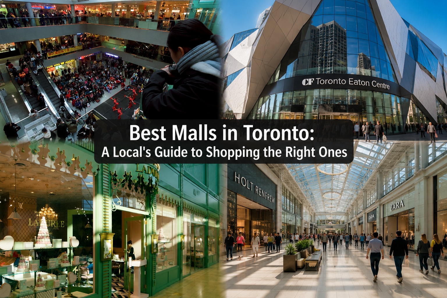
- The Eaton Centre connection — the PATH plugs directly into Toronto’s biggest downtown mall, useful if the weather turns mid-shopping trip.
- Hockey Hall of Fame access — reachable via the PATH without stepping outside, a detail hockey fans appreciate in January.
If you’d rather build out a full above-ground itinerary once you resurface, this self-guided walking route through Toronto’s key neighbourhoods pairs well with a morning spent underground, since it starts near several PATH entrances.
Quick Facts
- CostFree to walk, shops vary
- HoursOpen 24/7, shops close ~9pm
- Connects toUnion Station, 5 subway stops
- Best forWinter, rain, first-time visitors
Tips Before You Go
Whichever route you take on your first pass through the PATH, save this guide before you land, since the underground signal can be patchy in the deeper stretches. And if you’re planning a longer Toronto itinerary around it, it’s worth pinning this one for later; a network this size rewards a second and third visit.